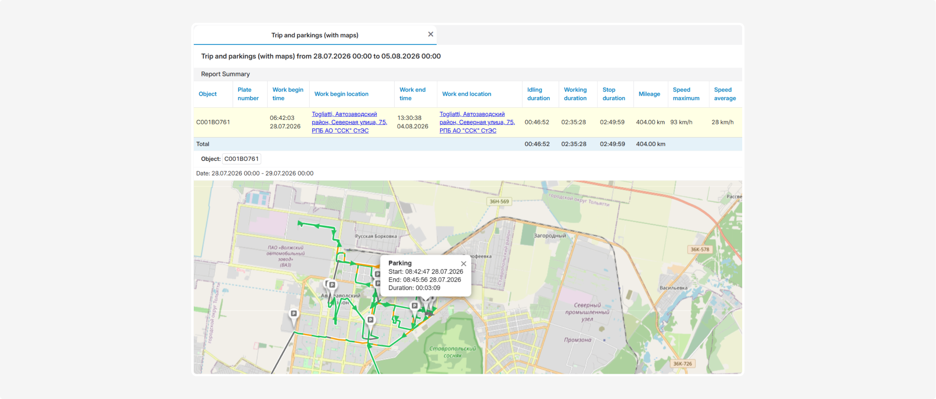
Trip and parkings (with maps)
The Trip and parkings (with maps) report provides information about the trips and parking events of the selected vehicle during the specified period. It allows you to analyze the start and end times and locations, working and stop durations, distance traveled, and speed indicators.
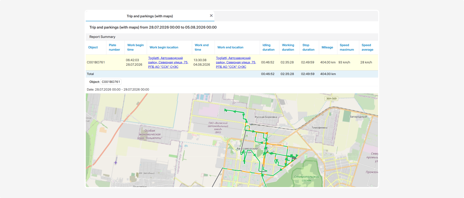
The report includes summary data for the selected period and detailed information about each trip. When maps are enabled, the vehicle’s route is displayed graphically.
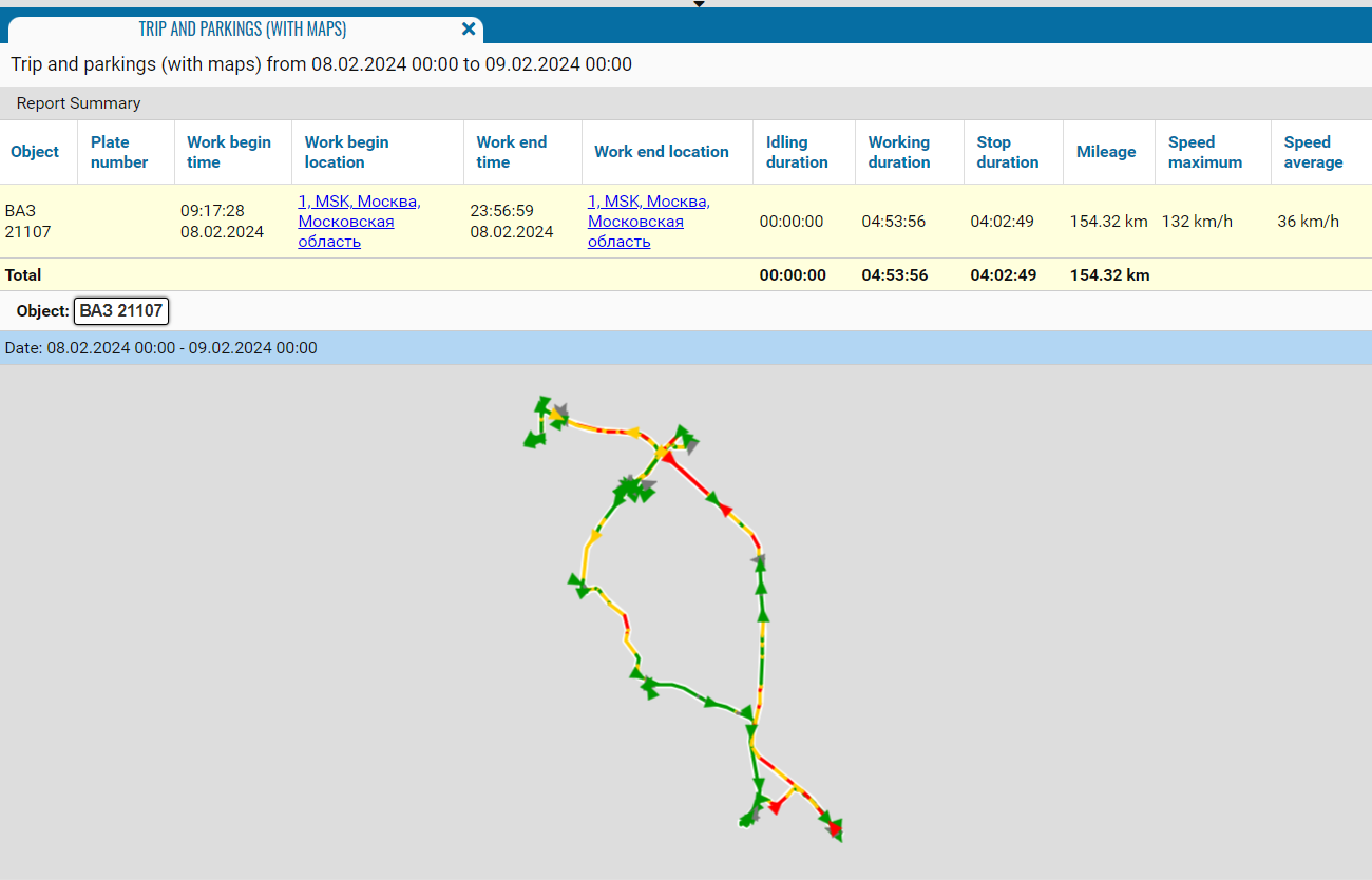
What the report shows
• Object — the vehicle name, registration number, or fleet number
• Work begin time — the date and time when the vehicle started working
• Work begin location — the address where the vehicle started working
• Work end time — the date and time when the vehicle stopped working
• Work end location — the address where the vehicle stopped working
• Idling duration — the duration of the recorded idling event
• Working duration — the total vehicle working time
• Stop duration — the total duration of stops during the corresponding period
• Driver — the driver assigned to the vehicle during the trip
• Mileage — the distance traveled by the vehicle
• Speed maximum — the maximum speed recorded during the trip
• Speed average — the vehicle’s average speed during the trip

Report parameters
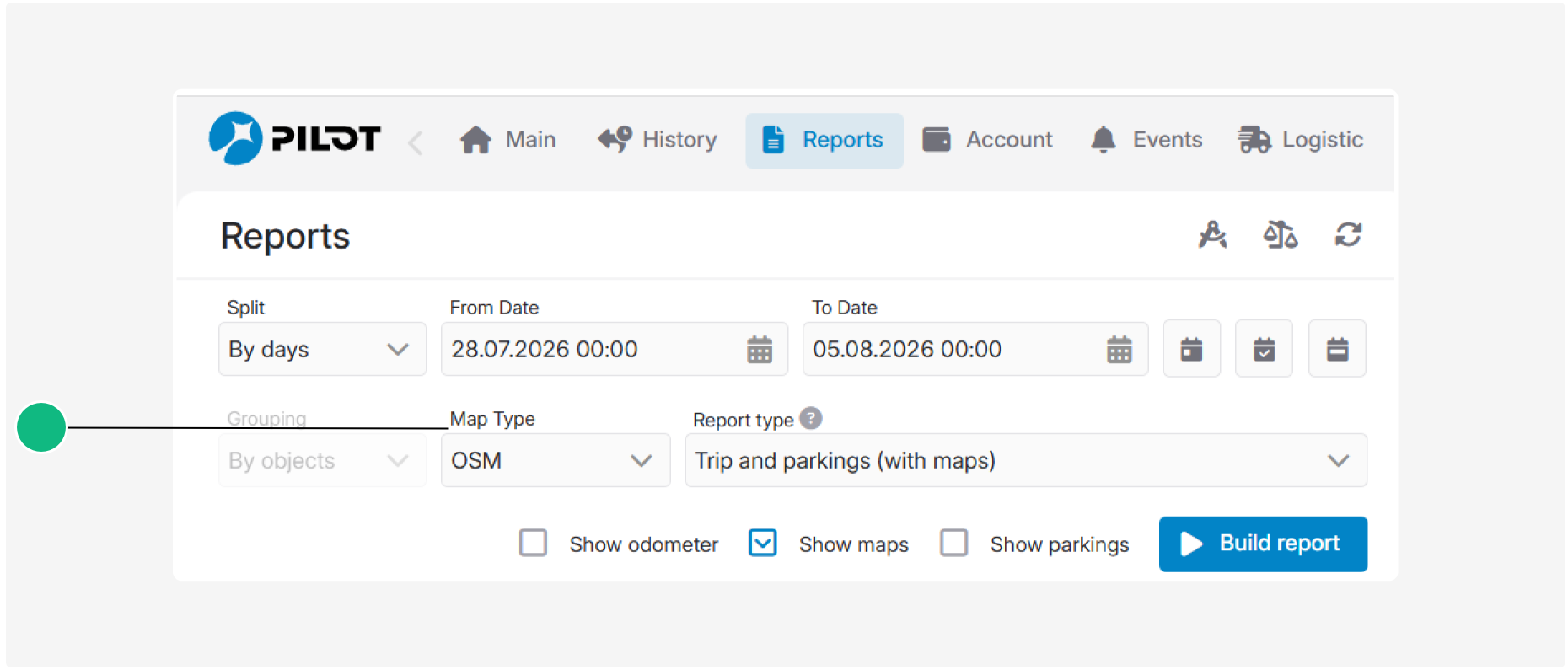
Before generating the report, you can select the map type and configure additional display options:
• Show odometer — adds the odometer readings at the beginning and end of the trip to the table
• Show maps — adds a map showing the vehicle’s route to the report
• Show parkings — displays parking locations on the map; this option becomes available after maps are enabled
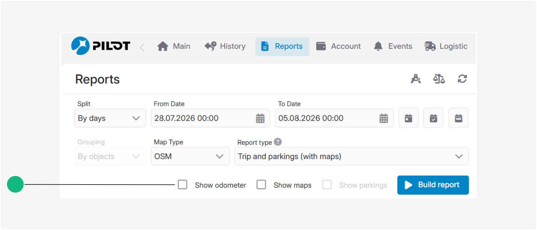
Show odometer
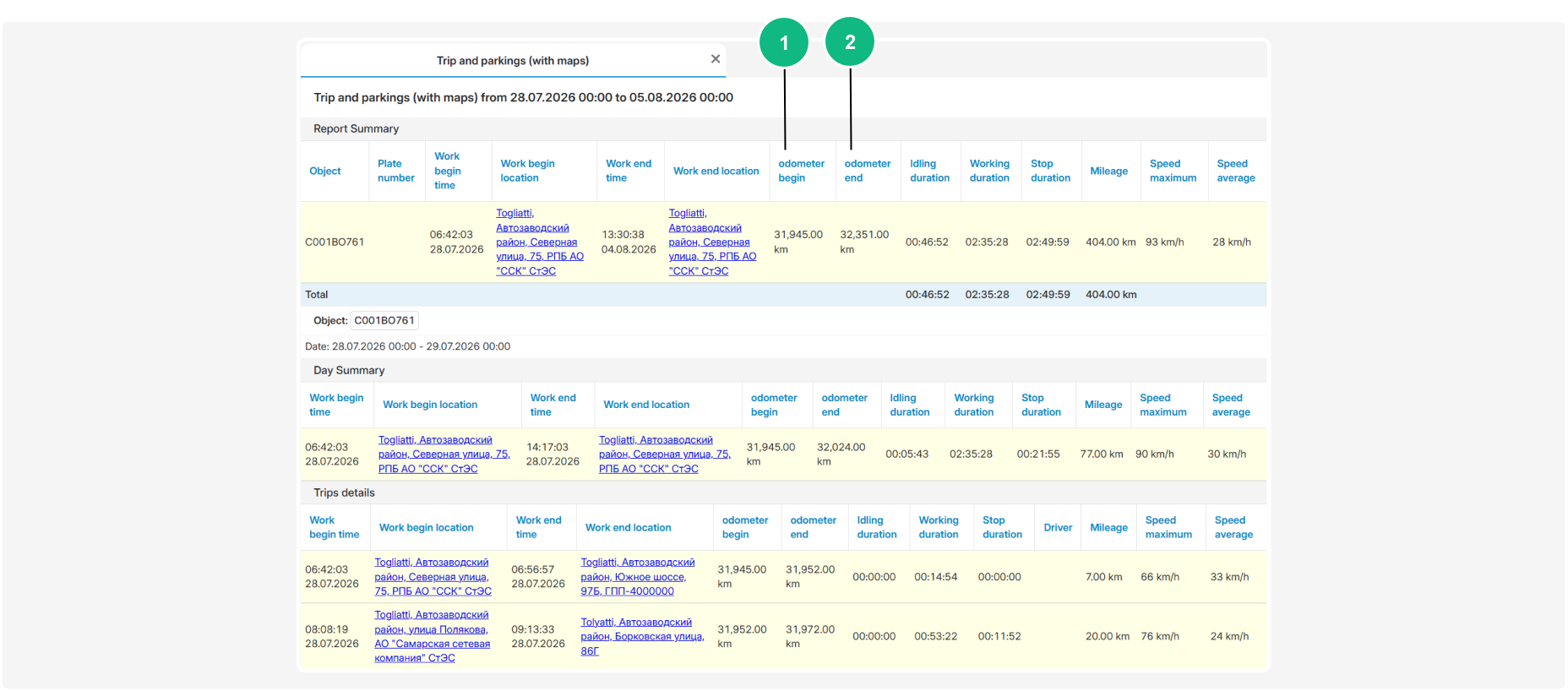
When the Show odometer option is enabled, additional columns appear in the summary and detailed sections of the report:
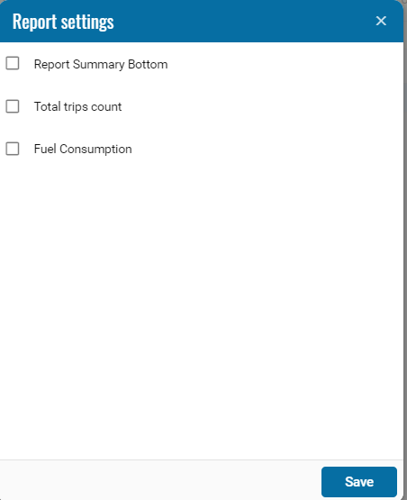
1 — odometer begin — the odometer reading at the beginning of the working period or trip
2 — odometer end — the odometer reading at the end of the working period or trip
Show maps
When the Show maps option is enabled, a map showing the vehicle’s route during the selected period appears below the report table.
Before generating the report, you can use the Map Type field to select the map layer used to display the route.
Show parkings
When the Show maps and Show parkings options are enabled, parking markers are displayed on the map together with the route.

Selecting a parking marker opens a tooltip containing the following information:
• Start — the parking start date and time
• End — the parking end date and time
• Duration — the total parking duration