Data quality
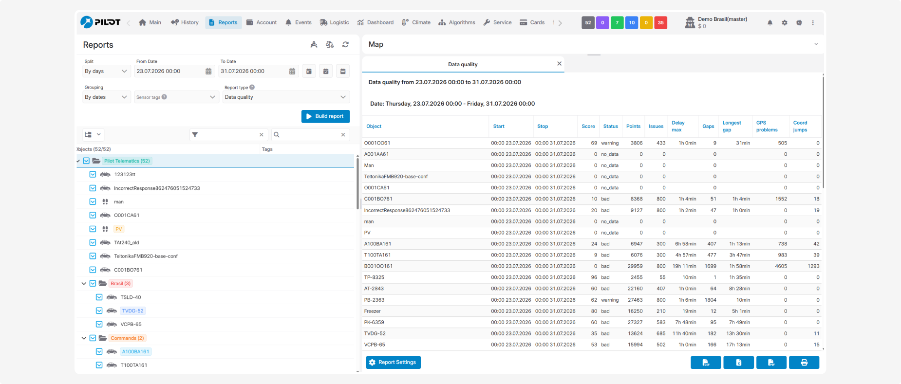
The Data quality report is designed to assess the quality of telematics data received from monitored objects during the selected period. It helps identify missing or delayed data, gaps between packets, GPS problems, sudden coordinate jumps, and other anomalies.
The report helps determine whether the received data is reliable enough for building tracks, calculating mileage, processing sensor readings, and performing subsequent recalculations. It evaluates not only connection loss but also the quality of the data packets already received.
Indicators are calculated separately for each object for every day within the selected period.
What is analyzed
When assessing data quality, the system checks:
— delays in packet delivery to the server
— intervals between consecutive packets
— sudden coordinate jumps
— GPS signal quality, including the number of satellites and HDOP value
— invalid packets and packets without coordinates
— packets with duplicate timestamps
— instances where the maximum speed configured for the object was exceeded
What the report shows
-
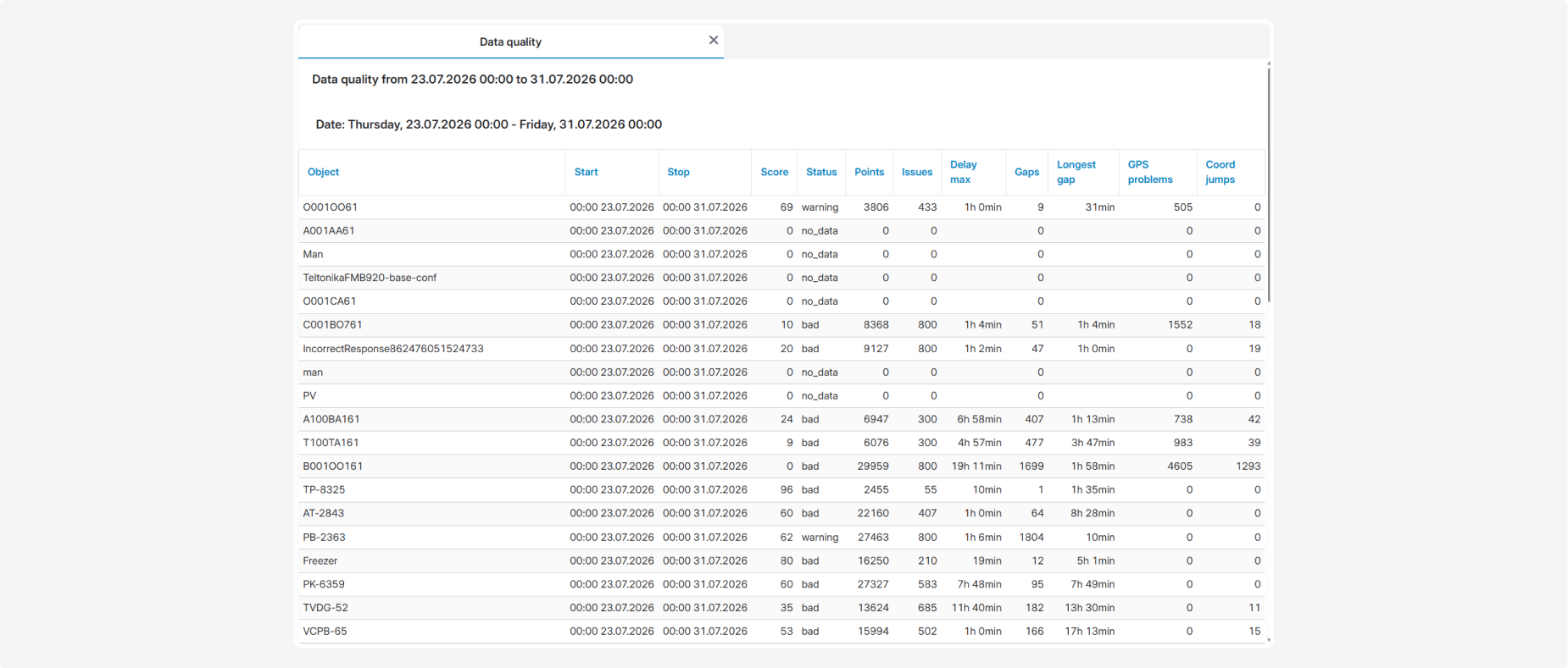
Object — name or number of the monitored object
-
Start — beginning of the analyzed period
-
Stop — end of the analyzed period
-
Score — overall data quality score from 0 to 100. A higher score indicates better data quality
-
Status — overall data quality status:
-
ok— the data meets the configured requirements
-
warning— issues requiring attention were detected
-
bad— significant data quality problems were detected
-
no_data— no data is available for the analyzed period
-
Points — number of telematics packets received during the period
-
Issues — total number of detected anomalies
-
Delay max — maximum delay in packet delivery to the server
-
Gaps — number of significant gaps between consecutive packets
-
Longest gap — duration of the longest gap
-
GPS problems — number of problems caused by an insufficient number of satellites or an HDOP value exceeding the permitted threshold
-
Coord jumps — number of detected sudden coordinate jumps
Threshold values
The analysis uses configured thresholds for data transmission intervals, delivery delays, gaps, coordinate changes, and other parameters. These values can be configured individually for each object.
If specific parameters are not configured, the system uses default values and the object’s existing settings, including the minimum number of satellites, maximum HDOP, maximum speed, and permitted connection-loss duration.